Two very different rocks meet under Crawley. The British Geological Survey maps the town centre, Northgate, Three Bridges, Pound Hill, Maidenbower, Forge Wood and Worth on the Upper Tunbridge Wells Sand, part of the Hastings Beds: interbedded sandstone and siltstone that is stiffer digging than clay and can throw up hard bands. West and south of the centre, Ifield, Langley Green, West Green, Southgate, Gossops Green, Tilgate and most of Furnace Green stand on Weald Clay, which carries thin bands of clay ironstone and, at Bewbush, the Horsham Stone sandstone. Broadfield sits where the Weald Clay meets mudstone and sandstone beds of the Tunbridge Wells Sand. River Mole terrace sand and gravel lies in pockets at Tilgate and Maidenbower, and there is alluvium by Ifield Mill Pond.
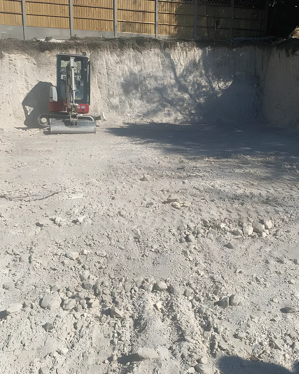
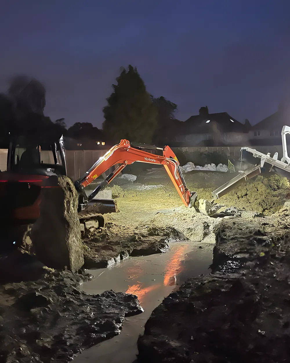
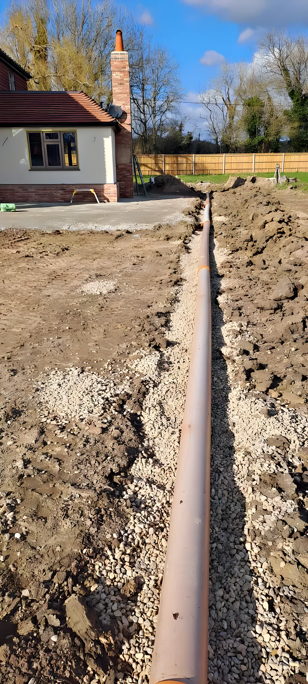
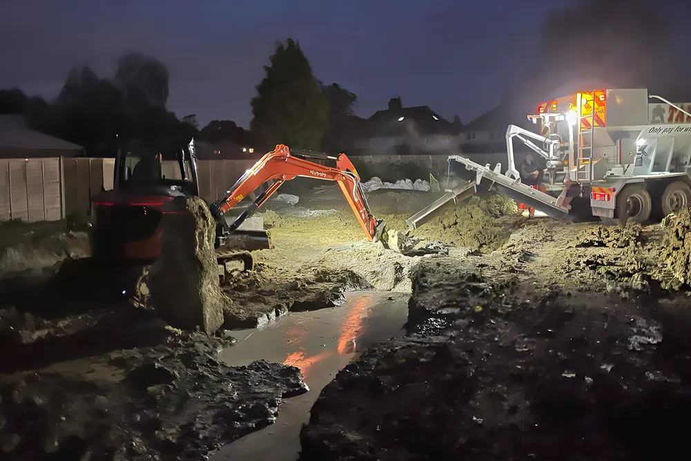
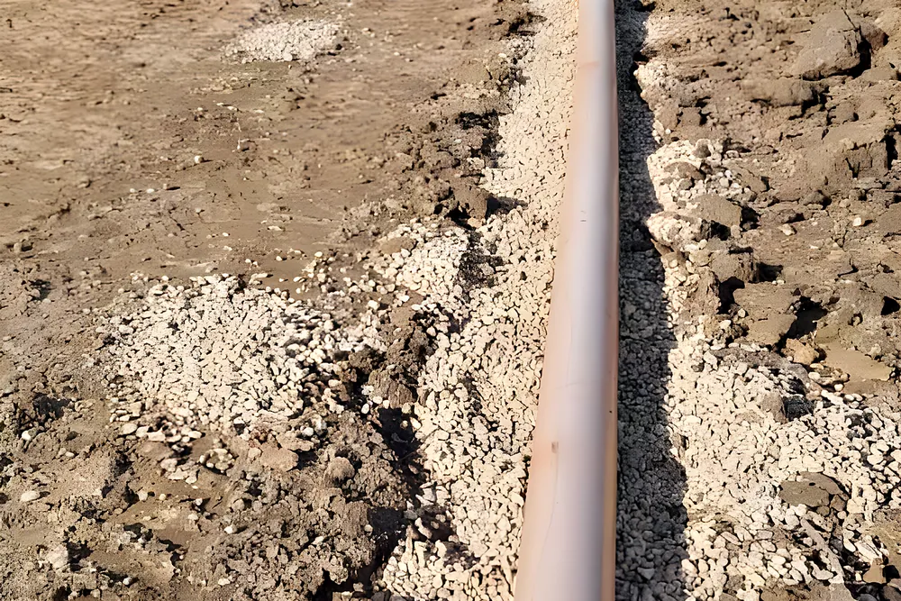
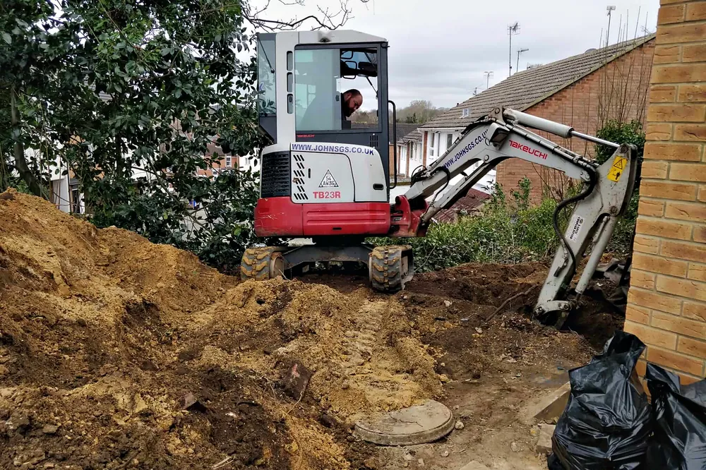
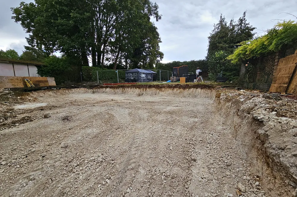
For groundwork that means two rule books. On the sandstone side a trench often stands well and a soakaway may pass a test, but the breaker can be needed where a hard band crosses the footing. On the Weald Clay, water sits in the trench, the clay softens if a footing is left open in rain, and it shrinks and swells with the seasons, so footings near trees are often taken deeper. Clay spoil is heavy and grows by about a third once dug, which affects how many loads leave the site.
The housing is mostly younger than in the Surrey towns. Crawley was designated a new town on 9 January 1947, and the Crawley Development Corporation built it as a set of neighbourhoods, each planned with its own shops, school, church and social facilities. West Green came first, with houses going up by 1949, Northgate, Three Bridges, Langley Green, Pound Hill, Ifield, Tilgate and Southgate followed through the 1950s, then Furnace Green from 1960, Broadfield from 1969 and Bewbush from the mid 1970s. Maidenbower was announced in 1986 as a privately built neighbourhood, and Forge Wood, in the north east, is the newest of the town's fourteen neighbourhoods. Older pockets survive too, from the medieval High Street to late Victorian and Edwardian streets at Three Bridges.